Professional surveying and infrastructure solutions provider in Hyderabad, delivering precise results since 2015 with a team of qualified engineers.
Plot No.949, Road No.8, Budhanagar, Medipally, Hyderabad 500039, Telangana
Professional surveying and infrastructure solutions provider in Hyderabad, delivering precise results since 2015 with a team of qualified engineers.
Plot No.949, Road No.8, Budhanagar, Medipally, Hyderabad 500039, Telangana
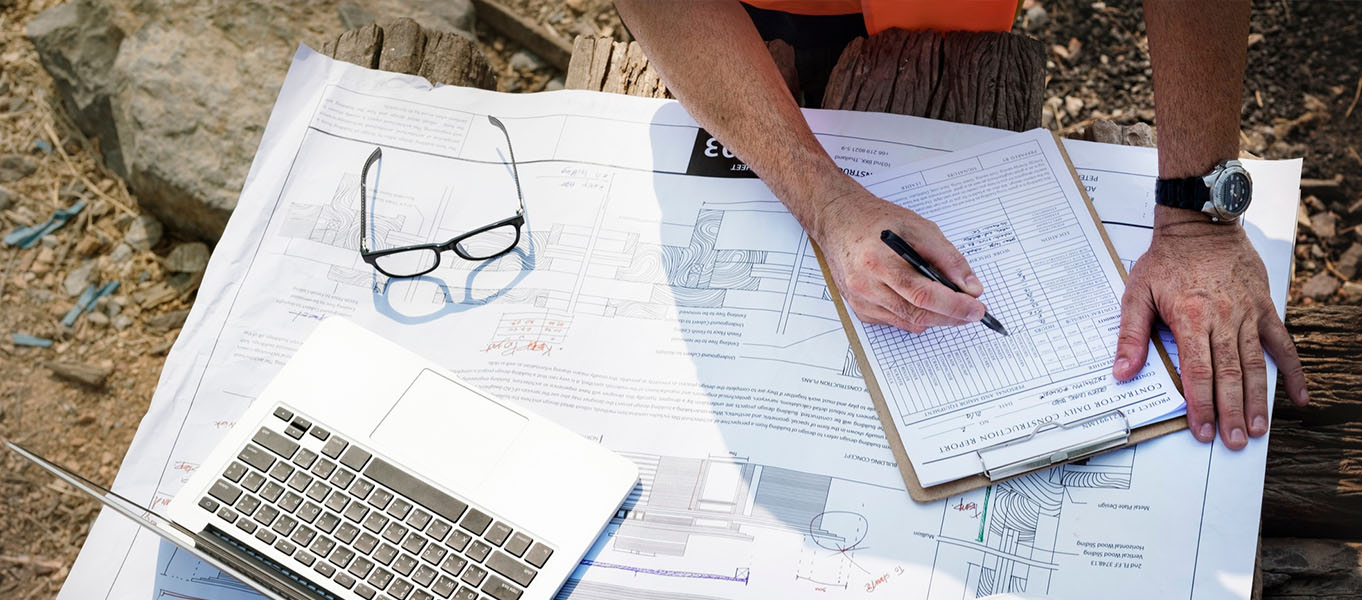
Livic Surveys provides professional contour surveys and earthwork calculations for construction, irrigation, and infrastructure projects across Telangana. Using RTK GPS and drone photogrammetry, we create detailed terrain models that enable accurate cut-fill optimization, drainage planning, and foundation design. Our certified surveyors have mapped 500+ acres of Hyderabad's varied topography, helping clients reduce earthmoving costs by up to 30% through precise volume calculations.
Detailed elevation mapping with 0.5m contour intervals
Cut-fill optimization with balance point analysis
Watershed analysis and slope direction mapping
"Livic's contour survey saved us ₹18 lakhs in earthwork costs for our Medipally township project. Their drone-based volume calculations helped us balance cut-fill within the site, eliminating external soil transport."
Vikram Rajput Project Director, Urban Infrastructure Ltd.
Get survey results within 5 working days